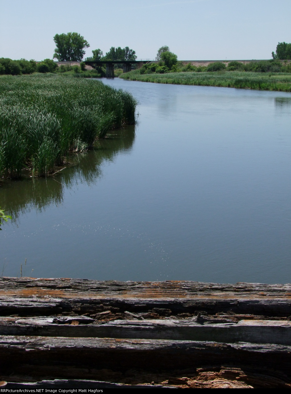
| Standing on the Original Soo Line Pomme De Terre River Bridge, looking SW at the newer Bridge. Glenwaod is to the left and Barrett is just half a mile to the right. |
| Date:
7/7/2012 |
Location:
Barrett, MN Map  |
Views:
99 |
Collection Of:
  Matt Hagfors
 |
|
Author: Matt Hagfors
|
 |
| Picture Categories: |
This picture is part of album: Track and Signals in Minnesota. |